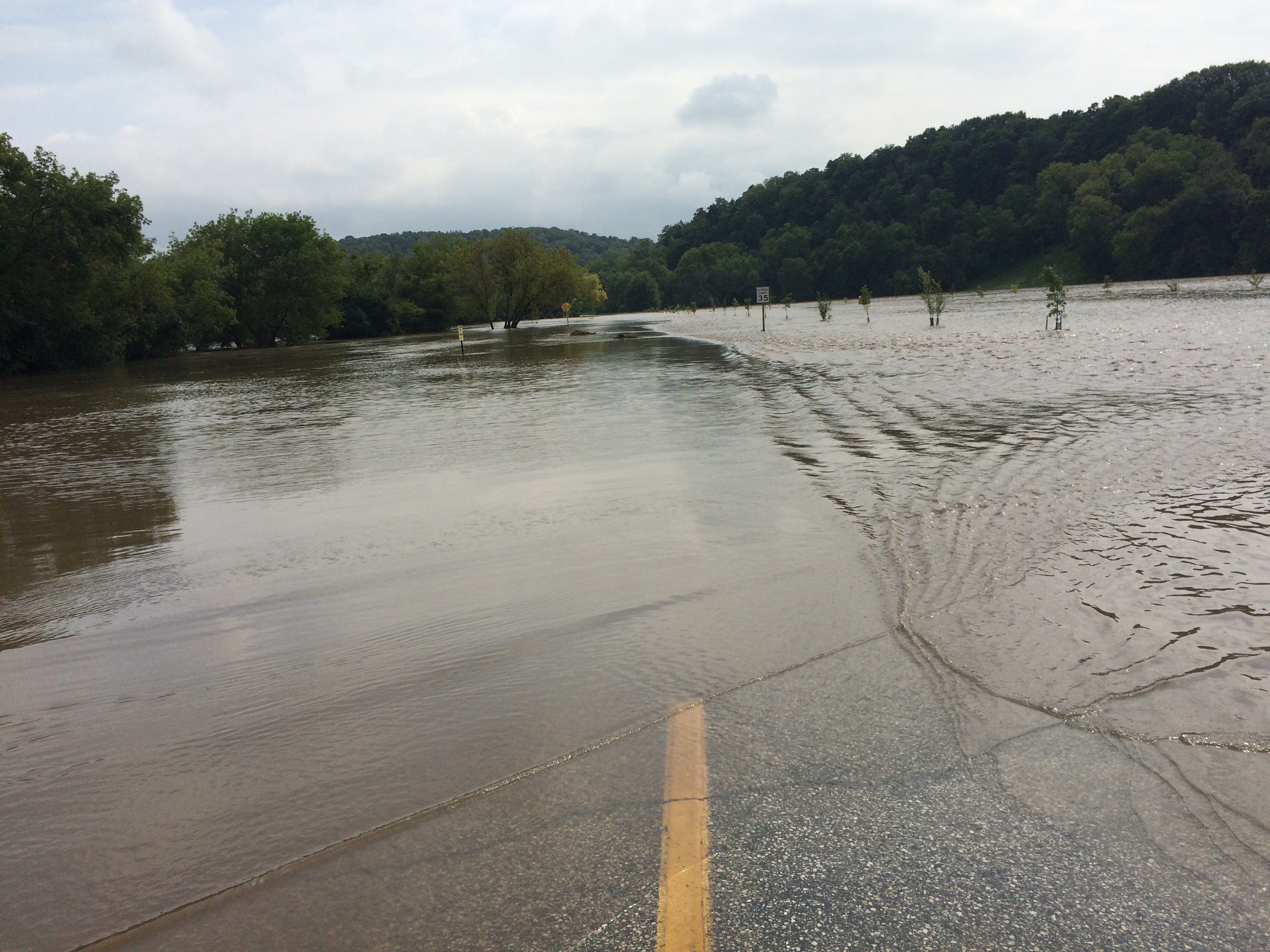
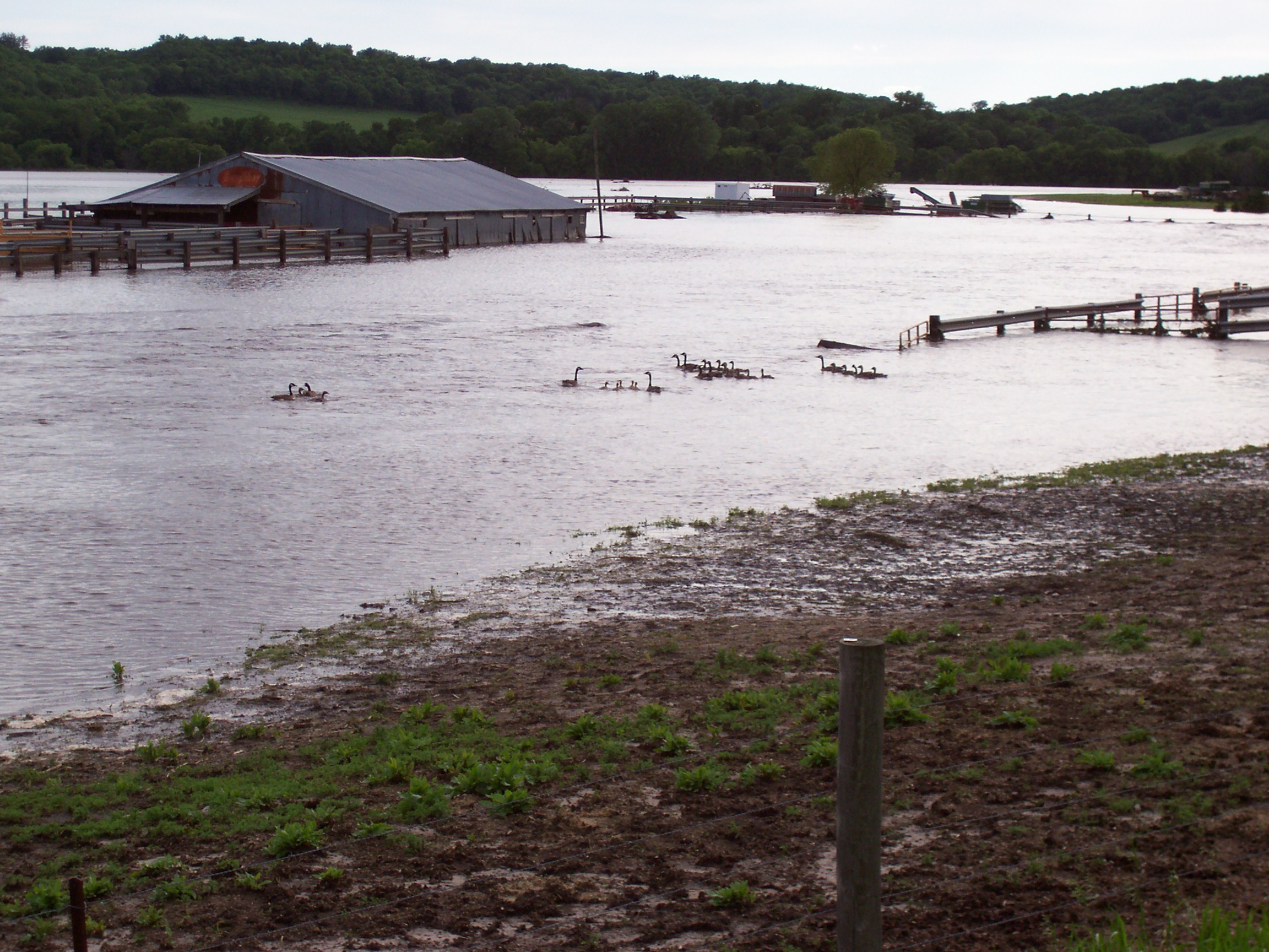
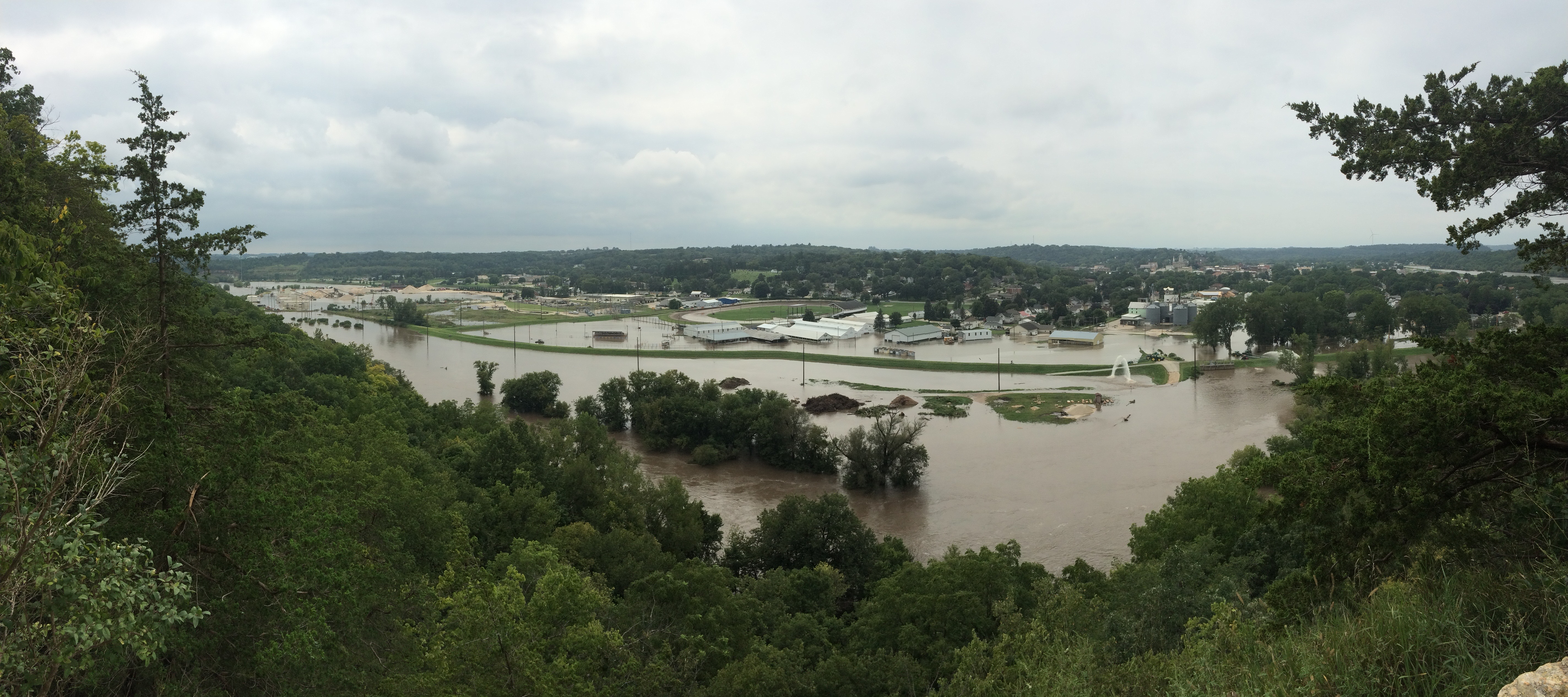
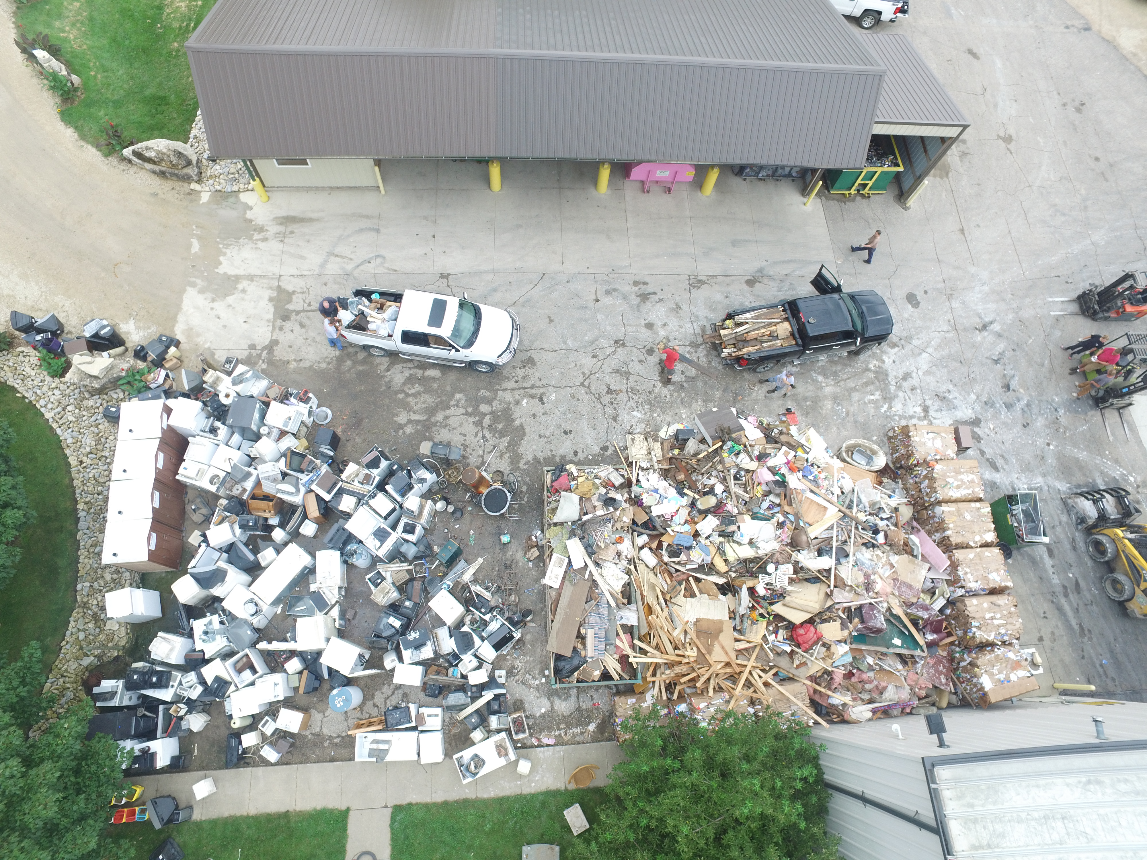
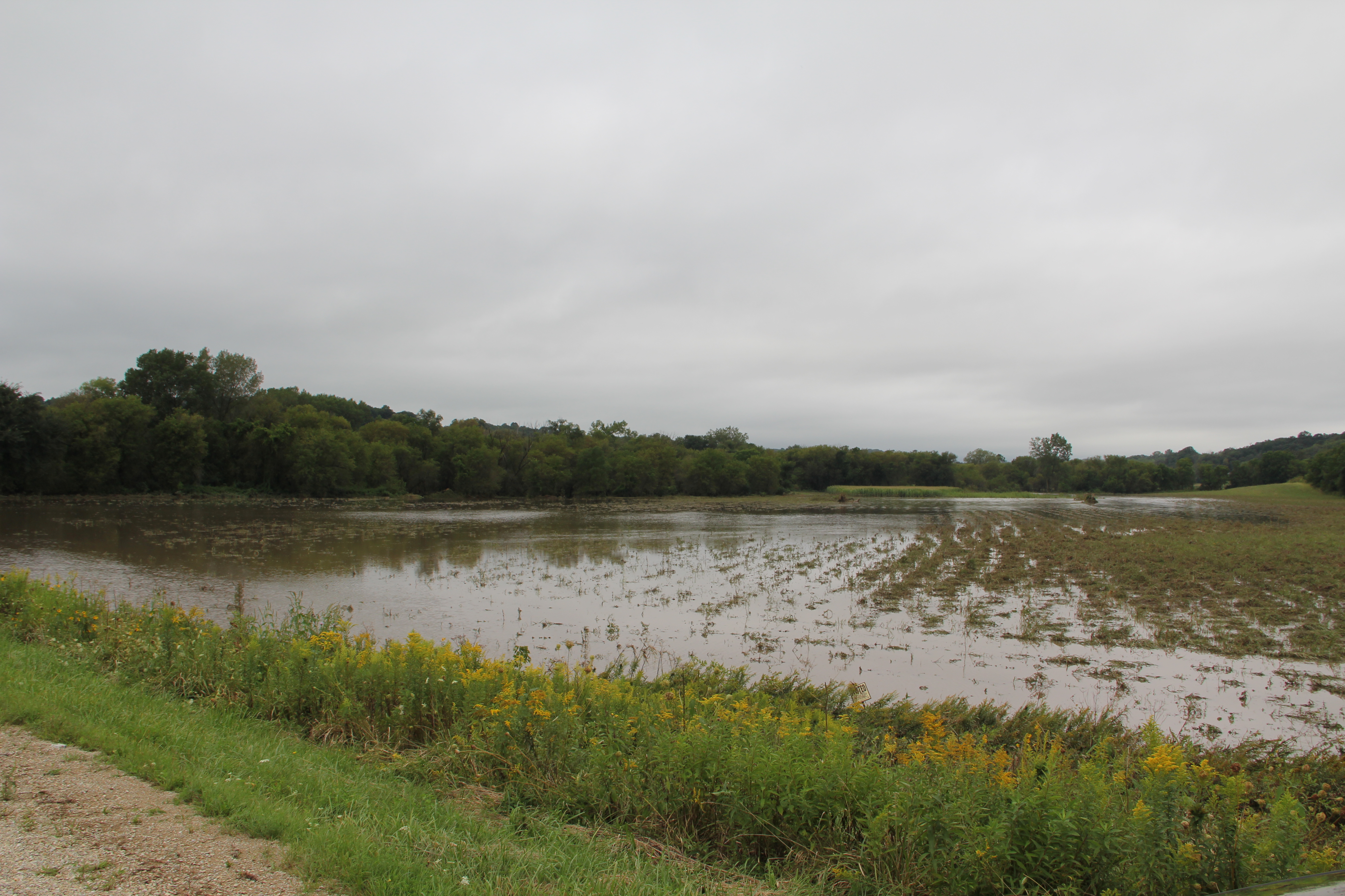
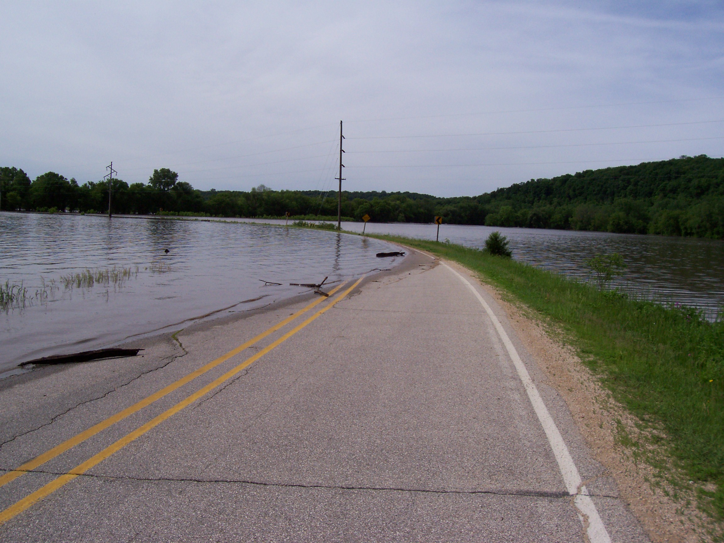
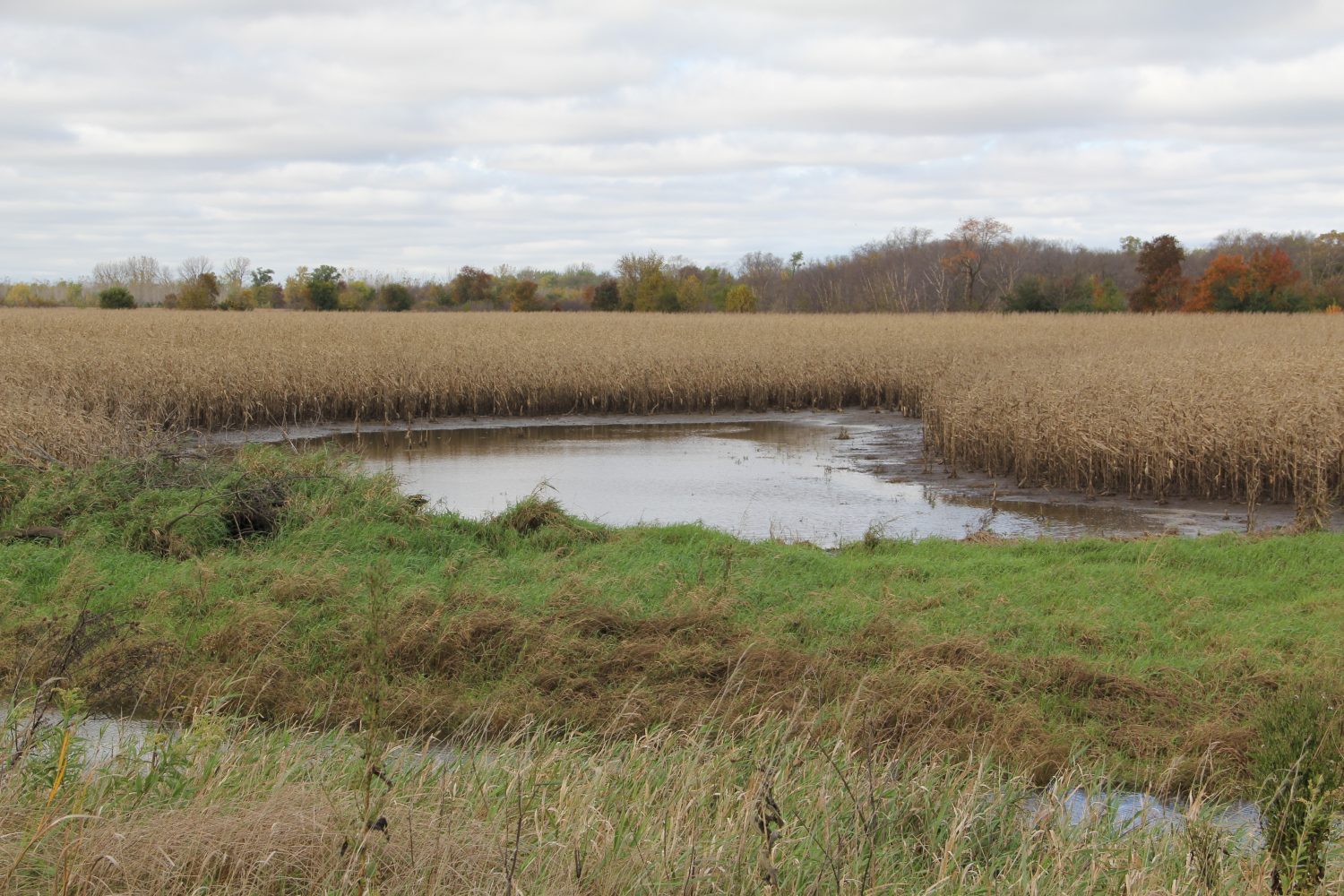
The impact of any individual flood event in the UIR Watershed is dynamic and complicated. It can include loss of life, direct and indirect economic loss and stressors, social, psychological, and cultural impacts, public and private physical infrastructure degradation or loss, property damage or loss, and business loss. The ecological impacts, including water quality degradation, terrestrial and aquatic habitat loss, and soil and nutrient loss and loading can be significant. Time spent on flood prevention and route detours is rarely considered but has significant impacts. There are also direct and indirect costs associated with clean up and disposal of flood waste, including damaged private and public infrastructure and debris that has been carried downstream. Some of these impacts can be and are measured or estimated by citizens, municipalities, counties, Iowa or the federal government. Unfortunately, most are never quantified but take a toll on the impacted population. As a result, the total impact of flooding is poorly understood and rarely accurately measured.
The ability of any member of the population to response to and recover from the impacts of flooding, their “resiliency”, is disparate. It varies greatly depending on a variety of factors such as income, financial and social capacity, age, mobility, cultural and linguistic isolation and constraints, local public support systems, physical and psychological challenges, and other factors. These factors can reduce resiliency and create vulnerability for individuals, families, neighborhoods and communities. The most vulnerable populations are particularly at risk and will have a more difficult time recovering from the impacts of flooding. Recognizing the challenges that these populations face is the first step to improving their resiliency and reducing the impact of flooding on the individuals, families, neighborhoods and communities who are least able to recover.
Reducing the Impacts of Flooding Through Mitigation
The impact of flooding can be reduced through widespread implementation of the UIR WMA strategies and actions. These strategies were developed after consideration of state of the art scientific analysis and through consultation with a diverse group of experts from many different fields.
According to a National Institute of Building Sciences’ Natural Hazard Mitigation Saves: 2017 Interim Report, investment in flood plain buildings, updating building design policies and other preventative measures could save the nation $6 in future disaster costs, for every dollar spent. The report did not even touch on the investment return of reducing or preventing flooding through implementation of strategies in the upper regions of a watershed. They note,
“The Institute’s project team looked at the results of 23 years of federally funded mitigation grants provided by the Federal Emergency Management Agency (FEMA), U.S. Economic Development Administration (EDA) and U.S. Department of Housing and Urban Development (HUD) and found mitigation funding can save the nation $6 in future disaster costs, for every $1 spent on hazard mitigation.”
Download the Natural Hazard Mitigation Saves: 2017 Interim Report. The report recommend the following public-sector and building code strategies related to flooding.
- For flood resistance, acquiring or demolishing flood-prone buildings, especially single-family homes, manufactured homes and 2- to 4-family dwellings.
- For flood resistance (to address riverine flooding and hurricane surge), building new homes higher than required by the 2015 IBC.
The National Institute of Building Sciences recommends mitigation but also recognizes that not everyone is willing or able to bear the construction costs for more resilient buildings even when long-term benefits exceed up-front costs. They note,
“In a 2015 white paper and 2016 addendum, the Institute’s Multihazard Mitigation Council (MMC) and Council on Finance, Insurance and Real Estate (CFIRE) proposed a holistic approach to incentives that can drive financing mitigation investments, aligning the interests of multiple stakeholder groups so that they all benefit from natural hazard mitigation. The BCRs identified in the 2017 Interim Report can facilitate the development of specific strategies that align incentives from finance, insurance, government and other stakeholders. View the white paper, Developing Pre-Disaster Resilience Based on Public and Private Incentivization. View the Addendum to the White Paper for Developing Pre-Disaster Resilience Based on Public and Private Incentivization.”
Although increasing our understanding of, and reducing the impacts of flooding is difficult, there are a variety of information databases that collect weather, rain, and flood data for the Nation that are helpful for local agencies and residents. Early warning and action can also help reduce the impact of flooding.
The National Oceanic and Atmospheric Administration (NOAA) and the Federal Emergency Management Agency (FEMA) gather data about weather and flooding in the United States. Their data is available online and provides a very detailed account of flooding events and rain data on the county scale. There is also agricultural data that is available to the public from a variety of sources like the United States Department of Agriculture (USDA) and Iowa State Extension (ISU). These resources provide valuable information that city and county officials, farmers, and residents can use to better understand past impacts and to inform decision making to minimize future impacts of flooding.
FEMA coordinates the federal government’s role in disaster mitigation, response and recovery. In 2008, FEMA’s mission was
“To reduce the loss of life and property and protect communities nationwide from all hazards, including natural disasters, acts of terrorism, and other man-made disasters. FEMA leads and supports the nation in a risk-based, comprehensive emergency management system of preparedness, protection, response, recovery and mitigation.”
FEMA provides supplemental Federal disaster grant assistance for debris removal, emergency protective measures, and the repair, replacement, or restoration of disaster damaged, publicly owned facilities and some private facilities. Unfortunately, local government and partners report the FEMA processes and payments are complicated, time consuming, limited and slow and/or difficult to see through to completion. Today FEMA’s mission is “Helping people before, during, and after disasters.” and local partners are hopeful that future FEMA assistance will reflect their new mission and recent trends to reduce the impact of flooding through preventative action rather than only respond to the impact of flooding after the damage has already occurred.
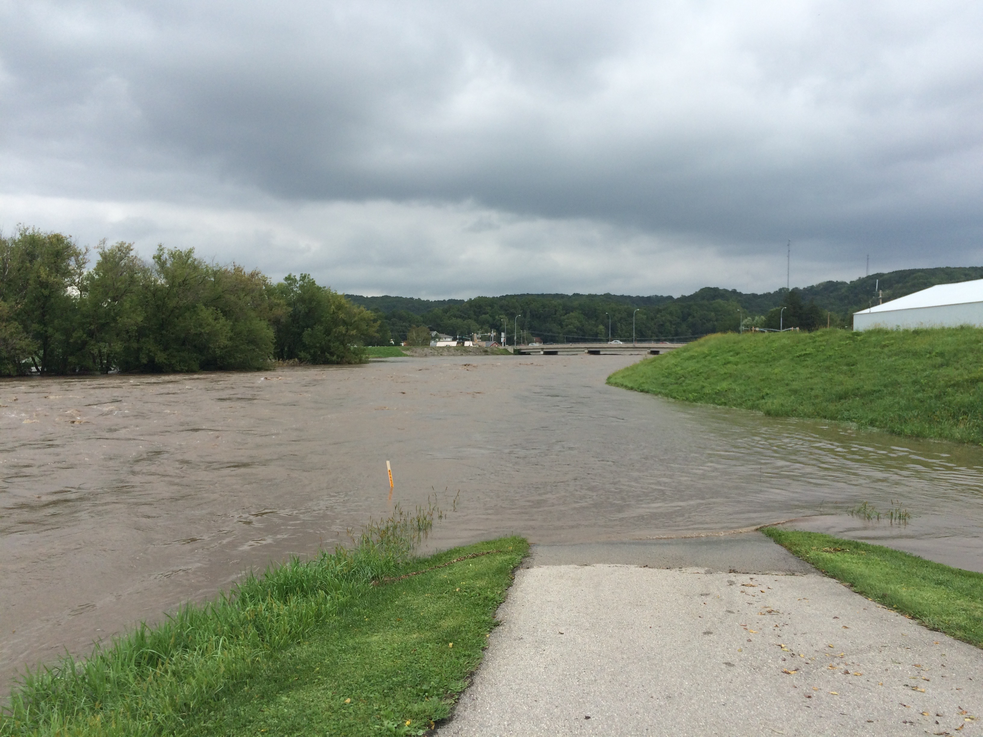
The National Weather Service (NWS) is the largest sub-agency of NOAA. The NWS provides real time and past weather patterns including rain and river level data. They receive data from the USGS gauging stations throughout the nation. The UIR Watershed has six of these stations. Three of the six are able to make probability and forecasting estimations that are very valuable to emergency managers and other emergency response personnel in the watershed. In order for a stream gauge to be able to forecast it needs to have been continuously collecting data for at least ten years. According to Emergency Managers in the UIR Watershed, the prediction feature of these gauges is vital to protecting community residents and reducing the future impacts of flooding.
The six USGS river gauges are vital but costly for local agencies and partners. According to Sean Snyder, Winneshiek County Emergency Manager, it costs Winneshiek County $30,000 dollars per year for the Army Corps of Engineers to maintain one USGS river gauge. So although county emergency response personnel would like to add additional gauges on tributaries to the UIR Watershed so they can better maximize limited resources during future flood events, the funding to do so is not available.
For information on current river levels click here.
For more information on the Upper Iowa River Gauging system click here.
State of Iowa Public Damage & Storm Reporting
Winneshiek, Howard, and Allamakee County Emergency Management Departments ask that in the event of a flood or other storm damage, you use this form to “self-report” damage to your property, roads, utilities or any other storm-related information. The data collected will help Emergency Managers like Sean Snyder of Winneshiek County identify how widespread the damage to the county is from a storm which passes through, and this system will also allow for a seamless transition to submit photos and information to FEMA if counties or individual county residents are declared eligible for reimbursement. Your contact information contained in the damage report will be kept confidential pursuant to Iowa Code § 22.7 (18).
Says Snyder, “The nice thing about this program is that it allows the individual to upload their own damage assessment pictures directly to the site. Once uploaded, the information is then seen by my department for further evaluation, if needed.”
Access the software at: https://survey123.arcgis.com/share/162782ba447e494a8a82fdae29625fd4?open=menu. You can download the Survey123 app to your smartphone for ease of use after each storm. If people do not have a smartphone, a web browser option is also available.