Implementation of the UIR Watershed Resiliency Plan will require action by public and private residents and organizations in substantial portions of three very rural Iowa counties and a very small area of a fourth Iowa county, as well as multiple small communities and villages. Since upper portions of the watershed encompass areas of three Minnesota counties, it is very important that Minnesota residents and partners also take action. Funding from a Disaster Resilience Grant provided resources for planning in the Iowa portion of the UIR Watershed. Minnesota partners are utilizing other resources to develop complementary planning components for the Minnesota portion of the watershed. To maximize implementation, the UIR WMA Board and the Northeast Iowa RC&D Planning Team involved watershed residents and organizations in Iowa in the planning process. They also provided information for Minnesota planning partners such as research methods, planning strategies and partner contacts.
Rather than developing a plan that tells the watershed residents and organization what to do, the UIR WMA Board and the Northeast Iowa RC&D Planning Team presented research and information, and in some cases maps and diagrams, and then asked the watershed residents and organizations what should be done to achieve watershed resiliency. Public participation was exceptional and input was specific, achievable, and measurable. Participants conveyed a understanding of the UIR Watershed, water quality, flooding and conservation issues and a desire to participate and implement strategies. Their knowledge, input, and engagement, which is in part the result of very active past and ongoing conservation effort, is also the foundation for future success in the UIR Watershed.
At the UIR WMA Board’s request, Northeast Iowa RC&D, Luther College, the Iowa Flood Center, Iowa Economic Development Authority and other partners engaged watershed residents through UIR WMA Board meetings, public meetings, focus group/technical meetings, landowner meetings/forums, community planning meetings, websites, partner meetings, written surveys and personal interviews. All of these efforts informed the planning in some manner. Each is briefly discussed below.
1.1
UIR WMA Board Meetings
The UIR WMA Board held open public meetings quarterly throughout the planning process. Information about these meetings was posted before each meeting by each participating UIR WMA member. Research, analysis and relevant information was presented to attendees before and/or after each of the UIR WMA Board meetings. This included information/presentations from the Iowa Flood Center Resiliency Team, IIHR, the University of Iowa Center for Evaluation and Assessment (CEA), Northeast Iowa RC&D, the UIR WMA Coordinator, NRCS, UNI Tallgrass Prairie Center, Iowa DNR, IDALS, Luther College, Iowa Homeland Security and Emergency Management and others. Attendees were invited to asked questions and provide verbal input regarding the presentations, the process or any related topic.
1.2
Public Meetings
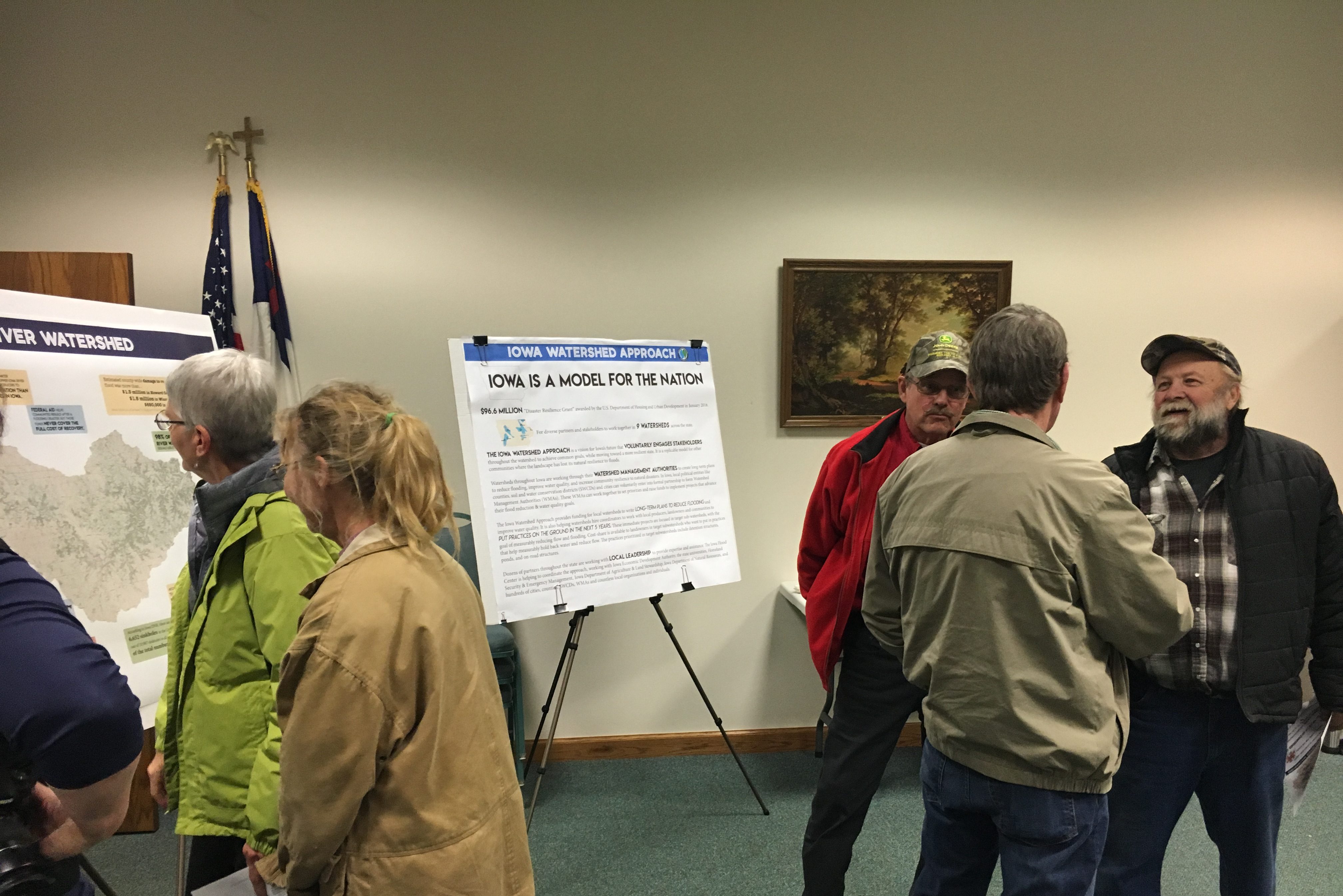
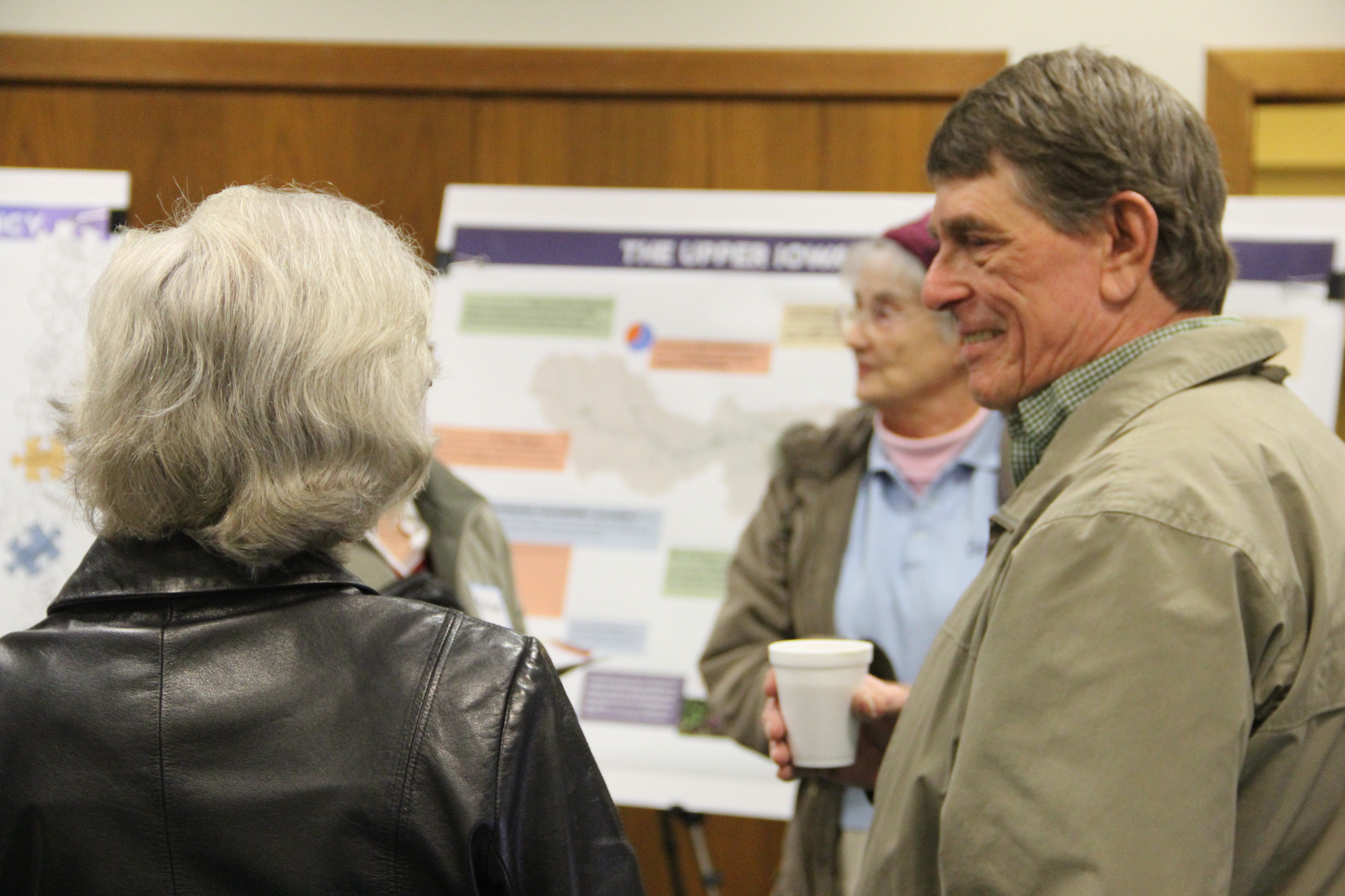
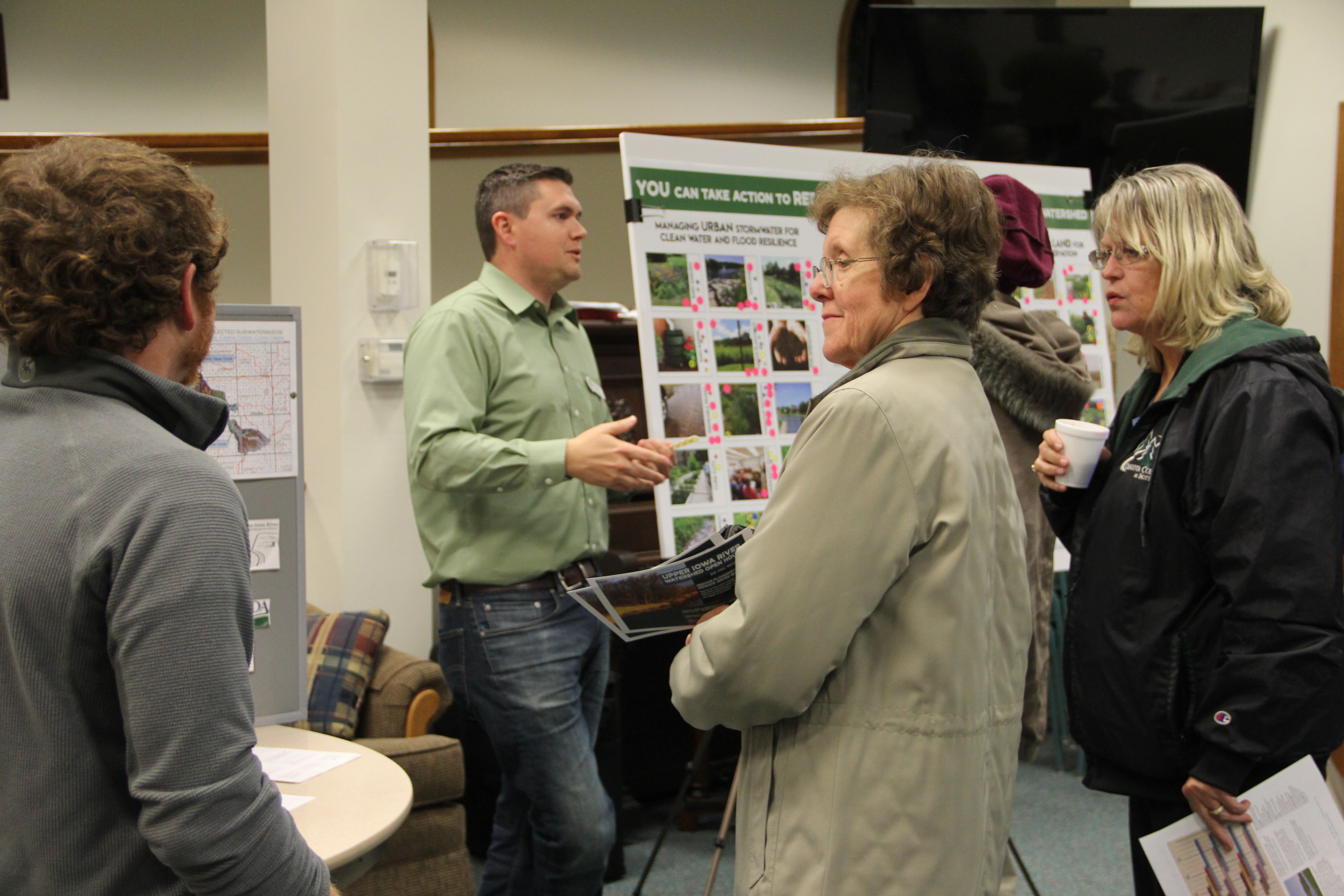
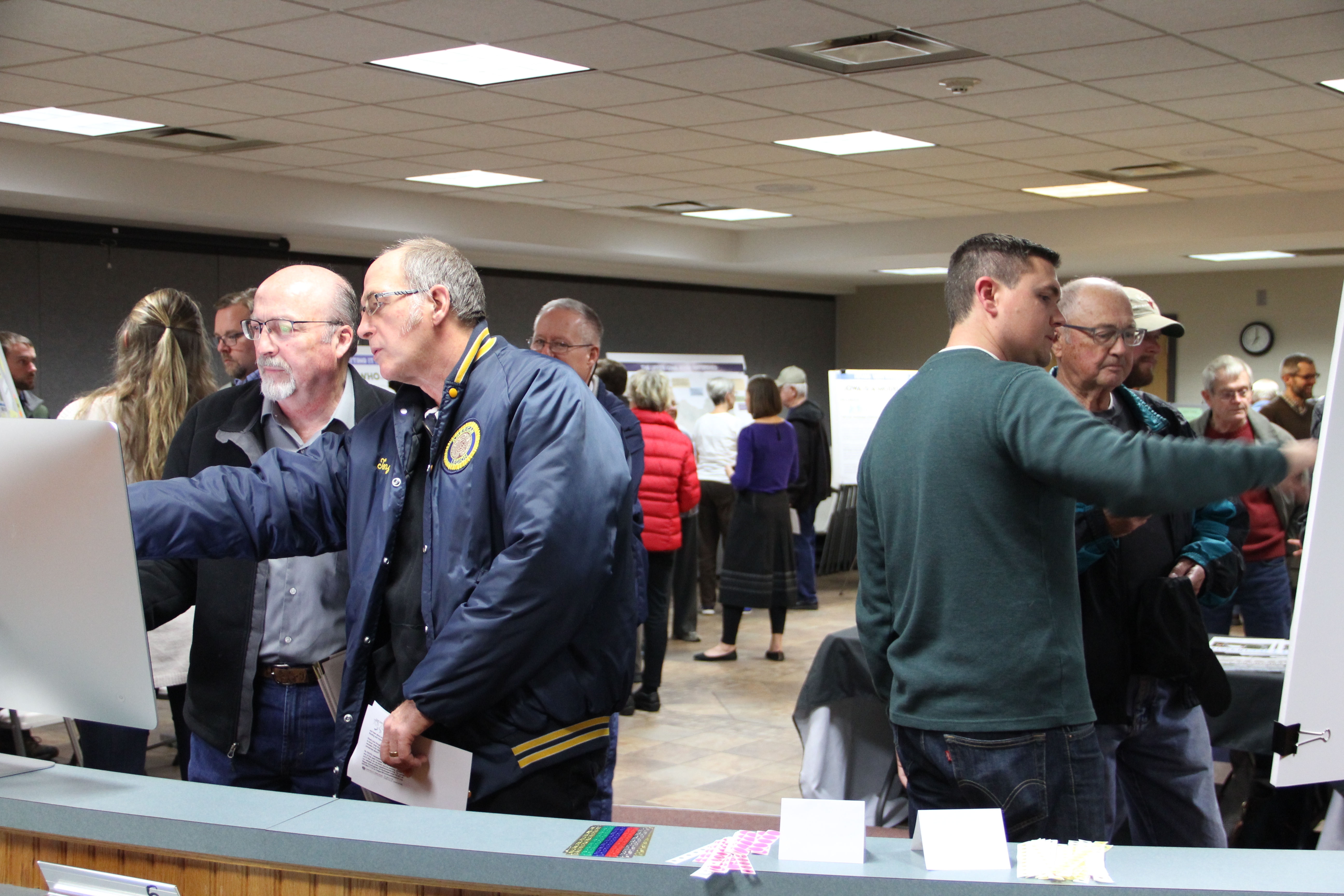
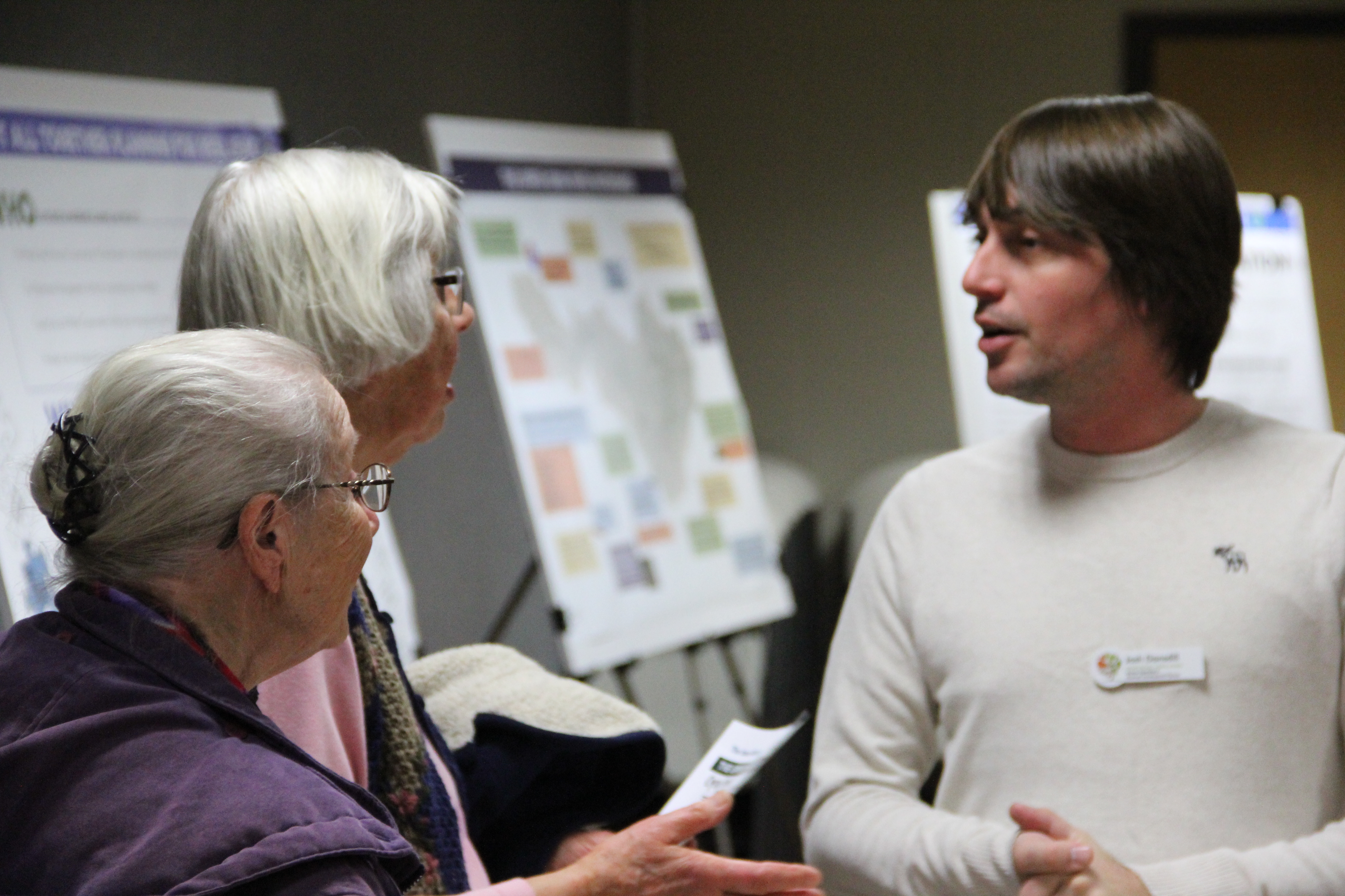
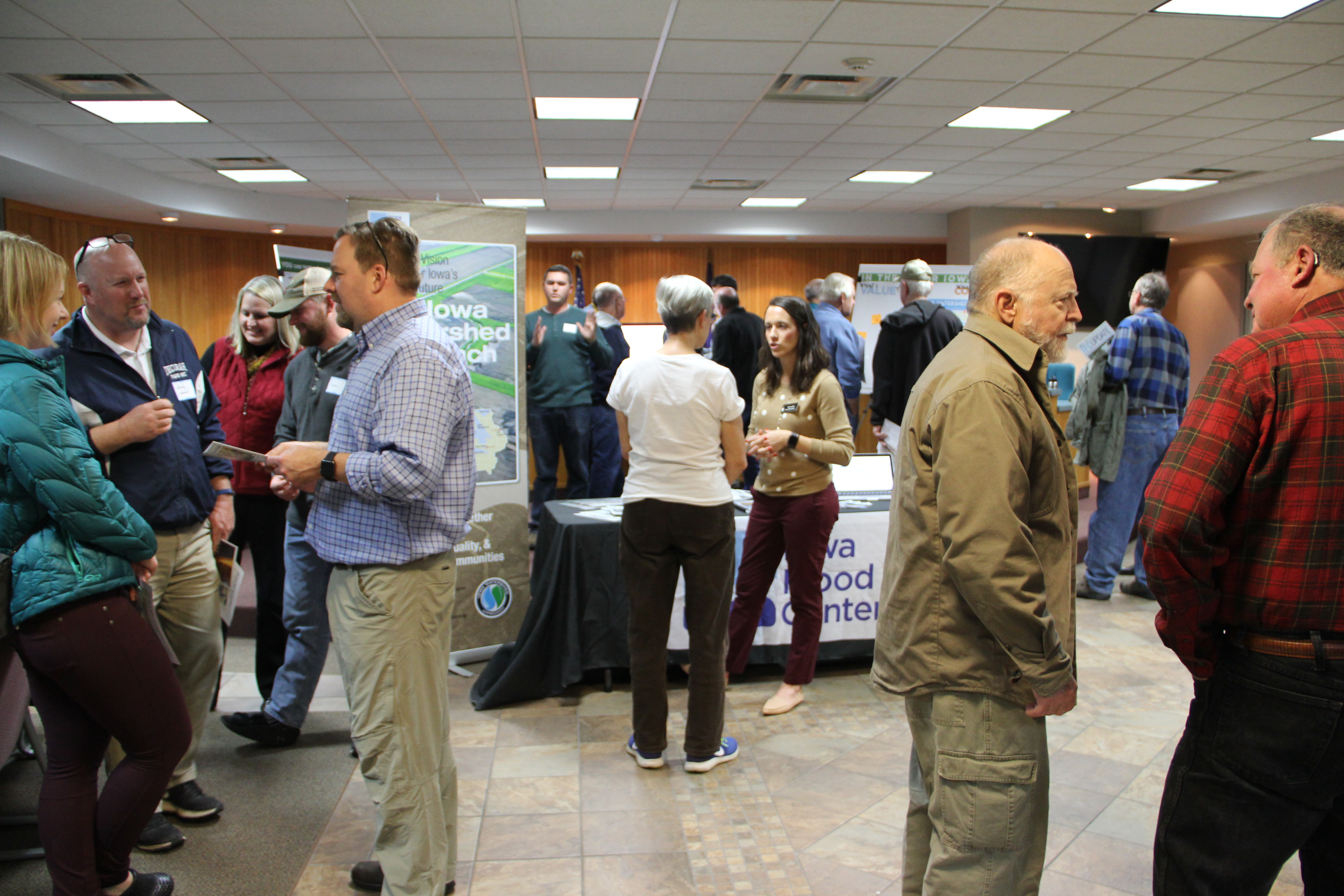
The Northeast Iowa RC&D UIR WMA Planning Team hosted three public meetings in November and December of 2017. More than 100 people attended with approximately 30 attendees in Dorchester (Allamakee County), 50 in Decorah (Winneshiek County) and 30 in Cresco (Howard County). Participants included conventional crop and livestock farmers, local food producers, landscapers, city councilors, county supervisors, city staff, conservation professionals, rural landowners, urban residents, college students, community leaders, teachers, business owners, state policy-makers, and other watershed residents. The meetings were publicized via local newspapers, radio stations, and multiple partner websites. Postcards about the meetings were sent to watershed residents who had expressed interest, as well as partnering organizations and agencies. The meetings were structured for maximum input. There was no formal presentation delivered. Meeting attendees were welcomed at the facility entrance and encouraged to participate and provide input at each of five stations. Large interactive posters were set up at each of the stations to communicate information about the characteristics of the watershed, the Iowa Watershed Approach and watershed planning. Northeast Iowa RC&D UIR WMA Planning Team members, UIR WMA Board members and/or WMA partners were stationed at each poster to explain the poster content, and encourage participants to provide written input. Attendees were specifically invited to share their concerns regarding water and tell planners what they valued in the UIR Watershed. They were asked to consider and convey what kinds of activities they participate in within the UIR Watershed, from agriculture to recreation. One of the posters featured a series of urban and rural conservation practices that could be used to reduce flooding and improve water quality. Participants engaged in conversation about the different practices, were asked which practices they would like to see implemented in their portion of the watershed, and were asked to physically indicate which practices/strategies they would implement on their own land or be supportive of implementing in their own community.
1.3
Focus Group/Technical Meetings
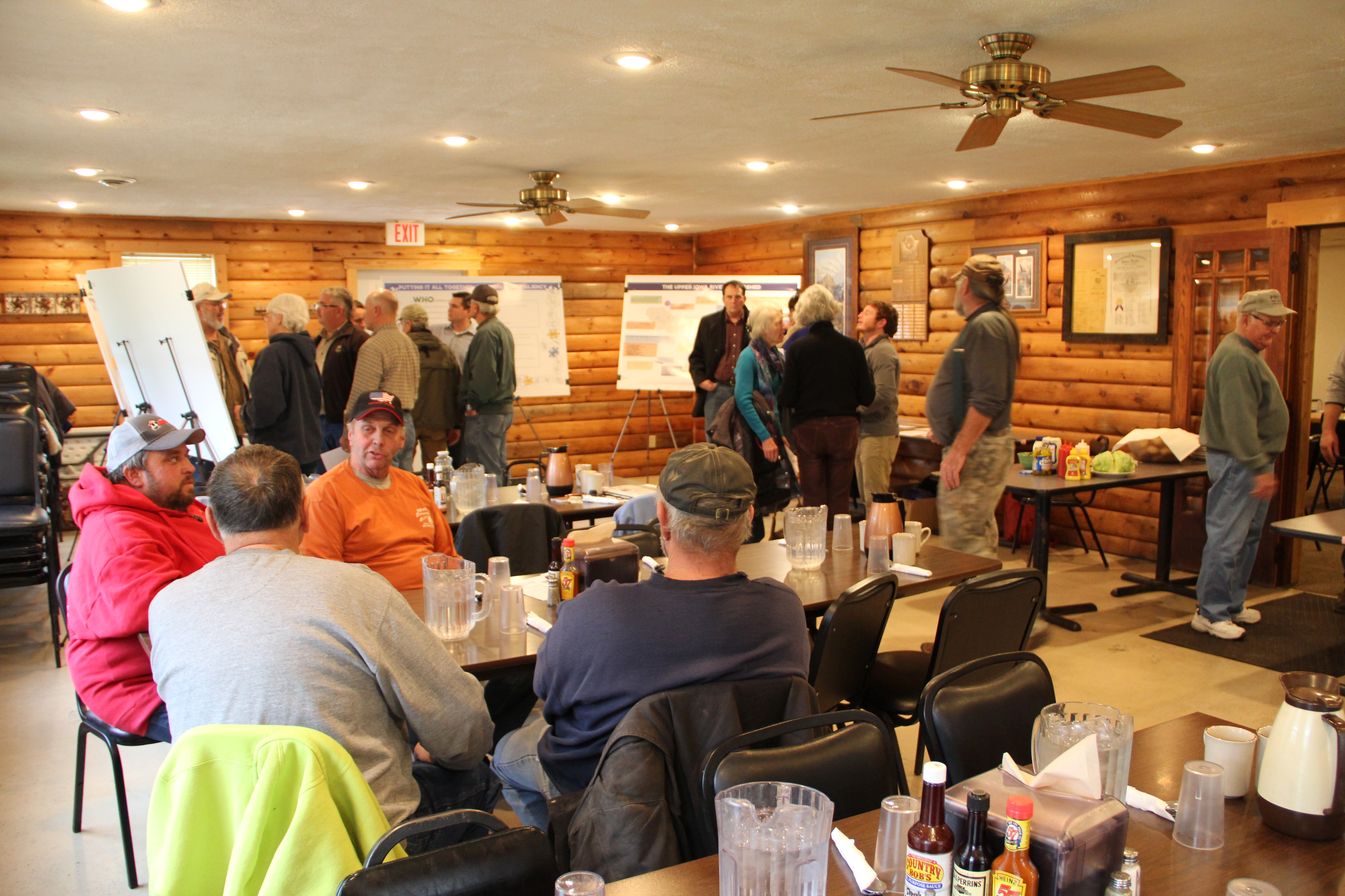
The Northeast Iowa RC&D UIR WMA Planning Team hosted targeted focus group/technical meetings that brought together specific professionals to provide input and recommendations to the UIR WMA Board. These meetings were by invitation only and included very specific, facilitated technical presentations and discussion as well as facilitated group decision making and recommendations. The Upper Iowa River Watershed has a rich history of multi-agency and organizational watershed collaboration and partnership going back to the 1990s, which has created a cadre of highly educated and experienced partners who have developed invaluable technical expertise.
The UIR Watershed Technical Committee, a group of more than 50 professional partners, primarily local, was the largest of the groups that met to provide input and recommendations for the WMA Board regarding subwatershed targeting, planning and project implementation. The UIR Watershed Technical Committee is comprised of representatives from soil and water conservation districts, county conservation boards, county engineering departments, county emergency management, USDA NRCS, Iowa Homeland Security, local colleges, Iowa DNR Fisheries, Iowa DNR Wildlife, ISU Extension, IDALS, US Fish and Wildlife Service, Iowa Flood Center, IIHR, the Iowa Watershed Approach, and local private conservation groups such as Pheasants Forever, Iowa Coldwater Conservancy, Trout Unlimited, Clayton County Conservation Awareness Network, Friends of the Decorah Hatchery, the Upper Iowa River Alliance and others. Based on selection criteria the group self imposed and facilitated discussion among members, this group ultimately made recommendations to the UIR WMA Board regarding selection and targeting of three specific subwatersheds for Implementation Funds provided by the Disaster Resiliency Grant.
In partnership with the Iowa Watershed Approach Resiliency Team, and Luther College Office for Sustainable Communities, the Northeast Iowa RC&D UIR WMA Planning Team also met with a focus group comprised of emergency responders from the Upper Iowa River Watershed including county emergency managers, emergency response personnel, law enforcement officers and others to discuss flood-related emergency response challenges and to consider emerging opportunities to work together to mitigate flooding and flood impacts.
In additional to larger group meetings, the Northeast Iowa RC&D UIR WMA Planning Team met with and discussed specific issues and gathered input through technical conversations with subsets of like professionals such as county engineers, geologists, fire department personnel, city officials, public health officials, state partners and others, to specifically to gather their expert opinion regarding the history of the watershed, past projects, the impact of flooding, landowner relations, project implementation challenges, current and emerging conditions within the watershed and other topics. Some of these watershed partners also provided data and information that was directly incorporated into the plan while others informed plan content.


1.4
Landowner Meetings/Forums
The Northeast Iowa RC&D UIR WMA Planning Team convened a Landowner Meeting/Forum in Canoe Creek Watershed, a HUC 12 subwatershed of the UIR Watershed. Canoe Creek Watershed was one of three subwatersheds in the UIR Watershed that was targeted for Iowa Watershed Approach implementation dollars. The meeting was implemented to help determine the usefulness of such meetings for inclusion as an outreach technique in the plan. It created a forum for distribution of information and increased awareness of the overall project, project planning and implementation. It also allowed watershed residents to provide input about outreach methods, specifically those intended to reach landowners. Over a dozen landowners attended, shared their water management concerns, and talked about the type of practices they could imagine implementing on their land. They ultimately recommended prioritizing one-on-one, focused, targeted outreach to landowners who own specific properties in the watershed that have been modeled to be priority locations for maximization of implementation dollars.

1.5
Community Planning Meeting
There are two city members of the UIR WMA, Decorah and Lime Springs. Northeast Iowa RC&D UIR WMA Planning Team members reached out to both of these cities to engage them in one-on-one meetings or community-wide planning. The Northeast Iowa RC&D UIR WMA Planning Team subsequently worked with the City of Decorah to develop a Decorah Planning Team, which included the city manager, city street staff, the city engineer, city councilors, a member of the planning and zoning commission, and the city’s representative to the UIR WMA. The Northeast Iowa RC&D UIR WMA Planning Team then convened four meetings with the Decorah Planning Team providing analysis/a flow map and background information. These were working meetings where the city participants helped provide input to the plan by actively mapping water management trouble spots, discussing city priorities, and considering opportunities for implementing stormwater BMPs. Following the meetings, the Northeast Iowa RC&D UIR WMA Planning Team reviewed the 2015 City of Decorah Stormwater Management Plan and made recommendations for updates. More information about the specific stormwater management strategies the Decorah Planning Team would like to pursue is included in the Objectives, Strategies and Action section of this plan. Officials from the City of Lime Springs declined to participate in the planning process.
1.6
Websites
Northeast Iowa RC&D UIR WMA Planning Team posted information about the UIR WMA, planning and implementation activities and provided opportunities for questions and input on the UpperIowaRiver.org website. They posted information about upcoming meetings and opportunities for public input on the website, as well as on the Northeast Iowa RCD Facebook page. Partner websites also included information about the project, including IowaFloodCenter.org ; IowaWatershedApproach.org ; IowaEconomicDevelopment.com; IowaDNR.gov and others.
1.7
Partner Meetings
Northeast Iowa RC&D UIR WMA Planning Team worked with the UIR WMA Board members to maximize community meetings, partner meetings and nonprofit activities, to inform planning and gather feedback from the public. These activities included giving watershed presentations and facilitating discussion at several meetings and venues including Trout Unlimited, Iowa Coldwater Conservancy, Upper Iowa Alliance, Northeast Iowa Peace and Justice Center, RC&D BBQ (a regional group of Supervisors, Commissioners, conservation and economic development professional and legislators), First Lutheran Church Forum, STEAM Career Day with Decorah Middle School students, Environment and Community class at Luther College, and the Environmental Science class at Northeast Iowa Community College. These meetings and venues provided opportunities to dialog and gather input from hundreds of youth and adult watershed residents of all ages.
1.8
Written Surveys
The Northeast Iowa RC&D UIR WMA Planning Team developed, distributed and analyzed a UIR Watershed Landowner Survey in July 2017. The goal of the survey was to raise awareness among rural and urban watershed residents and gather statistically valid input for the UIR WMA Plan. It was distributed to 1,300 landowners and 307 were returned, a 24% return rate. Recipients were selected by computer at random from county parcel data. Survey questions were related to landowner experiences and attitudes concerning flooding and water quality. Findings were presented to the UIR WMA Board at a quarterly UIR WMA Board meetings and posted on the UpperIowaRiver.org website. Some of the major findings include 38% of survey respondents reported having been “directly impacted by flooding within the last 5 years”, 89% agreed that flooding “is a problem in the Upper Iowa River Watershed”, and 79% of farmers and farmland owners indicated they are “interested in receiving conservation planning assistance, with the potential for funding for adopting conservation practices on their land”. The final goals, objectives and strategies included in this plan were heavily influenced by the survey results. The full results of the survey are available at UIR WMA Landowner Survey.
The Iowa Flood Center’s Disaster Resiliency Team contracted Luther College to complete a watershed-wide mail survey of UIR Watershed residents and also to conduct personal interviews of watershed residents, specifically those from the Freeport area, who had been greatly impacted by flooding in 2016. The results of their survey are available at Luther College Survey of Watershed Residents.
1.9
Historical Watershed Resident Surveys
Northeast Iowa RC&D conducted a Survey of Landowners in the Upper Iowa River Watershed in 2002. The survey was sent to 1,000 rural landowners. It had a 23% response rate. Brown University student, Rob Sand (who at the time of this plan release is serving as the State Auditor for Iowa) completed a survey of 800 rural landowners and residents on Farmers’ Views on Agricultural Conservation Issues in the Upper Iowa River Watershed in August of 2004. Sands survey recorded a 13% return rate. Results from both of these studies influenced the development of this plan as they provided insight into the historic populations, attitudes, behaviors, depth of understanding, and outside factors influencing decision making. Of particular note are comments regarding the need for flood prevention as well as references to the Bear Creek Watershed Project, which was an USDA NRCS PL566 project. The Bear Creek Project was a Minnesota-Iowa partnership intended to put fifty-two small, unobtrusive streambank dams along North and South Bear Creek. The dams, surrounded by native grasses, would act as filters during massive event rainfall to prevent runoff, including fertilizers, chemicals, and soil, from flowing directly into the water system, thus enabling soil recovery and keeping surface and groundwater supplies cleaner. The dams were engineered to last for fifty years and landowners were required to have 75% of the land above the dam in conservation practices [defined as losing less than three tons of soil per acre]. The project paid 100% of the cost of the project, requiring no input from the upstream landowners other than the implementation of the conservation practices. Although there was exceptional landowner interest, at the time of the survey, there was a waiting list for the federal funding, the project was not fully funded. Other comments of note related to flooding indicate that the watershed residents have long recognized storm events and the need for watershed protection and resilience, including the following.
- “NRCS uses RUSLE2 to plan for average soil losses across a rotation. Lately the bulk of erosion occurs during heavy rainfall events, and minimal soil conservations measures do not hold.”
- “Landowners and NRCS should plan for “event” storms to obtain maximum protection of cropland.”
- “More emphasis should be placed on promoting no-till practices. Those farmers’ fields hold up well to event storms while fields with no residue have washed away. The government agencies have not promoted tillage measures in the recent past and should devote more resources to it.”