What is “Karst”?
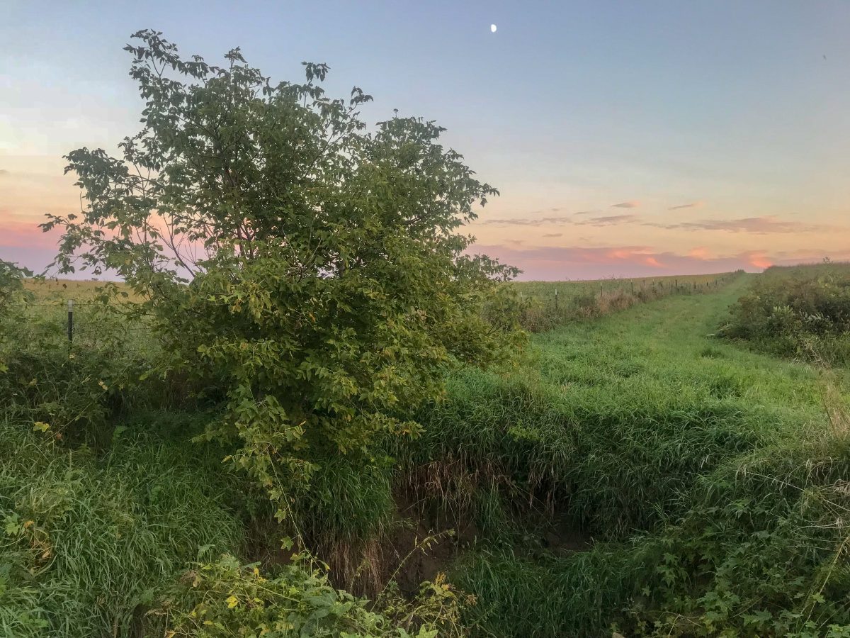
Karst terrain is characterized by the presence of easily dissolved bedrock (limestone and dolomite) near the ground surface. Because carbonate rocks can be dissolved by groundwater, karst areas are often characterized by sinkholes, springs, and losing streams where some surface flow is lost to groundwater. Groundwaters and surface waters in these areas are highly vulnerable to contamination because contaminants can travel quickly from the surface through open fractures and caves to aquifers, springs, and streams and are not likely to be filtered by soils. (Iowa DNR)
Research on the karst systems in the UIR Watershed has been completed by the Iowa Geologic Survey Bureau and by the Hoffman Environmental Research Institute at Western Kentucky University. These researchers implemented scientific studies that ultimately helped conservation professionals better plan and implement watershed initiatives and projects. The reports associated with that work can be found in the Publication Archive section of Watershed Plan. A summary of why cave resource inventories are important in karst watershed is available here.
2.3.1.2
A Story Map: Karst Features — Where and What are They?
2.3.1.3
Additional Maps of Sinkholes in both Iowa and Minnesota
Map Data
Iowa
- Source: https://geodata.iowa.gov/dataset/karst-and-sinkholes-iowa
- Date of Content: Dec 14, 2017
Minnesota
- Source: https://gisdata.mn.gov/dataset/geos-karst-feature-inventory-pts
- Date of Content: Sep 6, 2018
2.3.1.4
Karst Articles
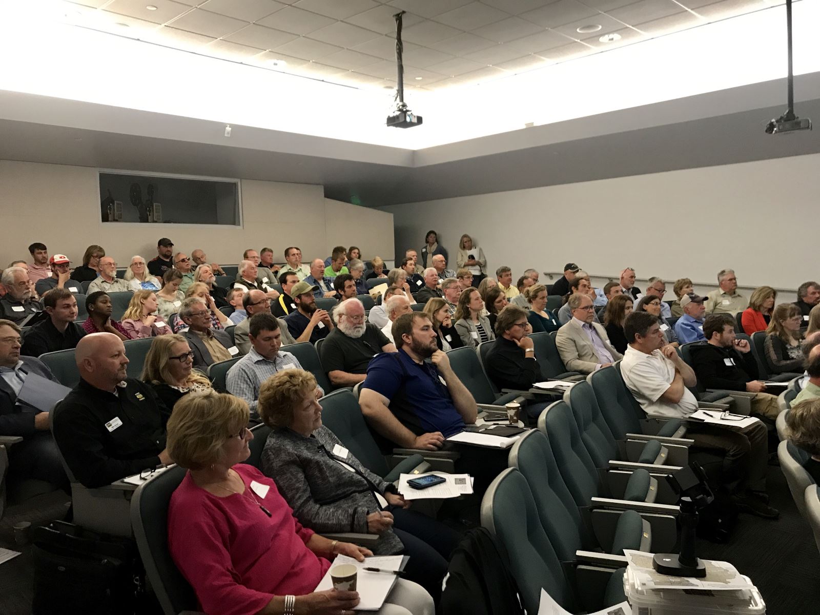
Karst, Water Quality & Livestock: Finding Balance for a Sensitive Geography
Karst, Water Quality & Livestock Forum: Finding Balance for a Sensitive Geography Held on May 30, 2017 at Luther College in Decorah Iowa From: https://www.iaenvironment.org/events/eid/1EBC82C0001C6257/council-events/karst-water-quality-and-livestock-forum/ Thanks to more than 100 attendees at the forum on May 30 for your interest and participation. We especially want to thank the Mississippi River [...]