
Soils are one of the most important components of the UIR Watershed, impacting watershed health, ground and surface water quality, and economic vitality. They also hold the single greatest potential to reduce flooding and improving water quality across the entire watershed. The type, health, natural and artificial drainage, management practices, slope, and biological characteristics influence soil water holding capacity, infiltration rates, runoff potential, nutrient mobility, erosion, and productivity.
Poor quality, compacted soils do not infiltrate , whereas healthy soils can act as a sponge. The organic matter and biology in the soil creates soil aggregates and pores that help infiltrate and hold water. Glomalin, a product of mycorrhizal fungi, acts as a glue to hold soil particles together. Organic matter in the soil provides food for bacteria, micro and macro-organisms, such as earthworms, and creates a more diverse soil ecosystem. Agricultural management systems that include tillage and high amounts of chemical inputs, such as commercial fertilizers, pesticides, and fungicides, create disturbances that disrupt natural soil processes that build soil health. USDA NRCS State Soils Scientist Rick Bednarek notes that,
“Healthy soils may hold 16,000 to 20,000 gallons/acre per percent of organic matter. Infiltration is another soil characteristic that can be improved with organic matter and other factors. Soil quality refers to the inherent qualities of the soils, whereas, soil health is related to the more dynamic properties of the soil that change due to management including microbiology, organic matter, etc.”
The Five Tenets of Soil Health
- Continuous living roots in the soil
- Soil armor
- Minimizing chemical and physical disturbance
- Maximizing plant diversity
- Integrating livestock
The UIR WMA recommends several strategies and actions associated with soils and soil health. To Learn more about these strategies click here.
The five tenets of soil health listed above mimic the natural systems of tallgrass prairies and forests that covered much of the UIR Watershed prior to European settlement. Prairies and forests are very diverse, protect the soil, have minimal disturbance, year round plant cover, and have numerous species of grazers present. Land management strategies, such as use of cover crops or multi-cropping, controlled traffic and organic inputs such as manures and composts, can increase soil health.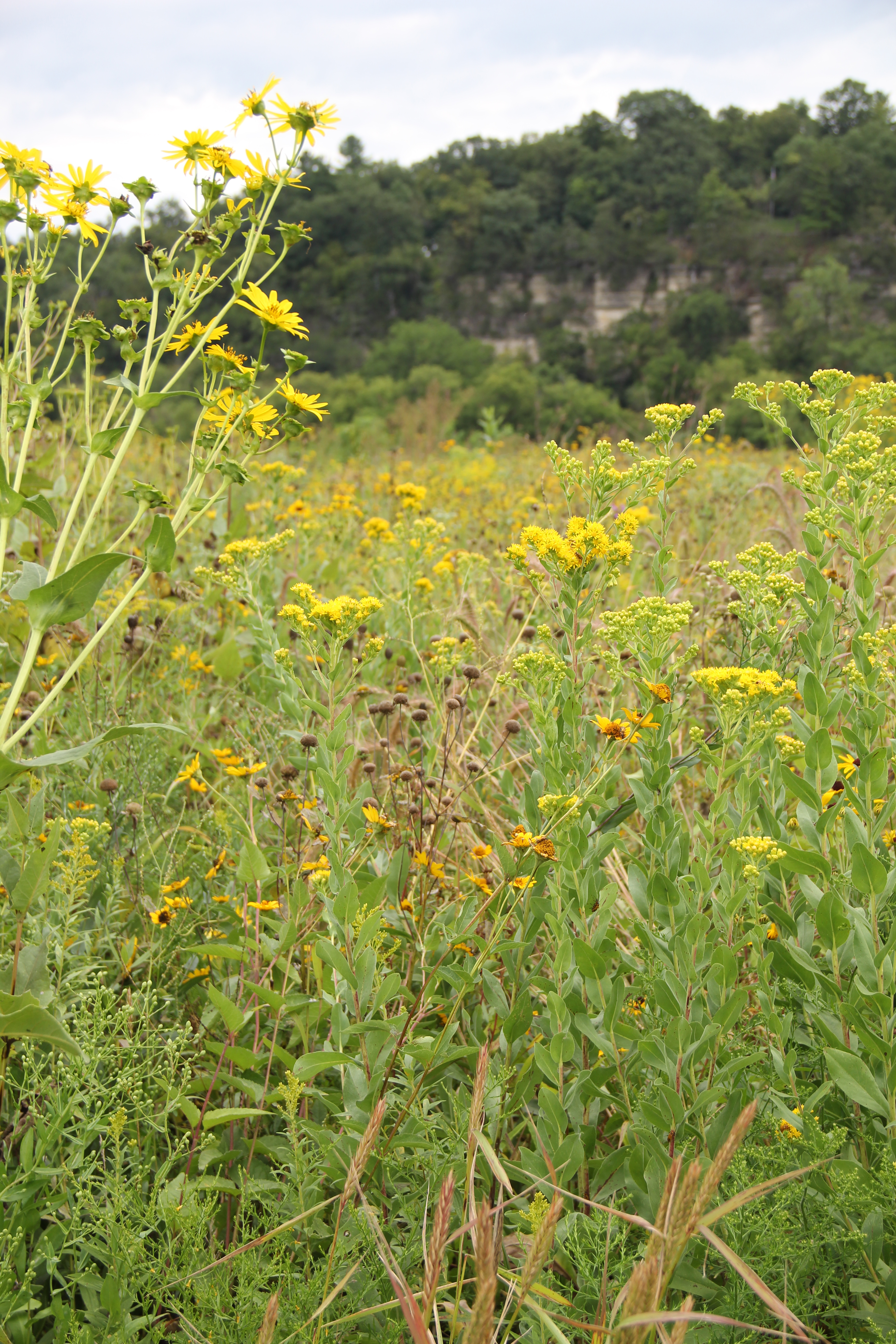
Soils in the UIR Watershed are dominated by two main soil types Fayette (28.9% of the Upper Iowa River Watershed) and Downs (16.6% of the UIR Watershed). The remainder (54.5%) of the UIR Watershed is composed of 14 different soil types, with no individual type accounting for more than 10%.
The USDA describes the Fayette, Downs and other soil types, their properties and landscape positions in the Soil Surveys they publish by county. They also provide extensive maps that delineate the locations of each soil type throughout each county. The Soil Surveys are publications of the National Cooperative Soil Survey, a joint effort of the USDA and other federal, state and local agencies. The Soil Surveys are available on-line and provide important information for producers and watershed residents but additional analysis.
Information provided in the Soil Surveys can be analyzed with other data sets to extrapolate information and/or to target technical and financial assistance to producers.
For example, the Soil Surveys note the Fayette series consists of well drained soils formed in loess found on uplands, convex crests, interfluves and side slopes, and treads and risers on high stream terraces. Slopes range from 0 to 60 percent. Nearly level to gently sloping areas of Fayette soils are cultivated, with the primary crops being corn, soybeans, small grains, and legume hays. Steeper slopes of Fayette soils are pastured, wooded or both wooded and pastured. They also note that the native vegetation of Fayette soils is deciduous trees, mainly oak and hickory and that sinkholes are common in Fayette soils. Although these soils are easily worked by producers, NRCS notes that permeability is moderate and they are very low in available nitrogen but high in available phosphorus. They recommend that steeper areas with Fayette soils be utilized for permanent pasture, as woodland, or for wildlife habitat.
Not included in the Soil Survey is a GIS analysis conducted by Northeast Iowa RC&D of soil, slope, landuse and water quality, which found that some of the highest concentrations of phosphorus in UIR Watershed streams were located in the subwatershed that had the greatest percentages of row crop on steep, highly erodible forest formed soils. The analysis was used by Northeast Iowa RC&D to secure increased federal and private cost share and incentives for producers willing to plant trees on highly erodible slopes with fragile, shallow, soils in the early 2000s. Another example of an analysis is one that was conducted by the RC&D that evaluated the locations of different soil types that were eligible for specific state and/or federal programs. It was utilized to maximize technical assistance and outreach to forest reserve landowners, as well as producers who qualified for the bottomland hardwood initiative and/or for establishment of small wetlands. These analysis demonstrate the importance of having an understanding of soils as related to land use and conservation practice implementation.
The characteristics of soils are important, but slope is also a very important consideration and influences how the Fayette and Downs soil groups and other soil groups infiltrate water. Although Downs and Fayette soils are well drained, the greater the slope the more potential there is for surface runoff. Severe erosion can occur in fields with slopes greater than 9% if the plant cover is absent or limited (Effects of Soil Erosion on Soil Properties as Related to Crop Productivity and Classification, USDA,1985). Production methods and management, including cover crops, multi-cropping, no-till, crop residue management, enrollment in a conservation reserve program/s and/or implementation of structural practices that slow runoff on steep slopes are extremely important.
The Upper Iowa River Hydrologic Assessment, calls attention to the important role that shallow groundwater and soil moisture conditions play in the transformation of rainfall into runoff, noting that high soil moisture and groundwater levels have contributed to flooding in the past. They also reference the Hydrologic Soil Groups that NRCS uses to classify a soil’s runoff potential and the influence the ground water table has on infiltration, noting the following.
“Soils are classified into four Hydrologic Soil Groups (HSG) by the Natural Resources Conservation Service (NRCS) based on the soil’s runoff potential. The four HSG’s are A, B, C, and D, where A-type soils have the lowest runoff potential and D-type have the highest. In addition, there are dual code soil classes A/D, B/D, and C/D that are assigned to certain wet soils. In the case of these soil groups, even though the soil properties may be favorable to allow infiltration (water passing from the surface into the ground), a shallow groundwater table (within 24 inches of the surface) typically prevents much infiltration from occurring. For example, a B/D soil will have the runoff potential of a B-type soil if the shallow water table were to be drained away, but the higher runoff potential of a D-type soil if it is not. Complete descriptions of the Hydrologic Soil Groups can be found in the USDA-NRCS National Engineering Handbook, Part 630- Hydrology, Chapter 7.”
Shown below is a map of Hydrologic Soil Groups located in the Upper Iowa River Watershed. Click the group (color) of interest in the map to learn more about each Hydrologic Soil Group.
