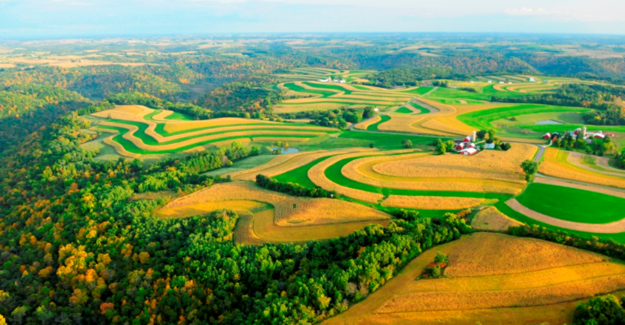
Land use and land cover in the Upper Iowa River Watershed is more diverse than many other Iowa watersheds. Acres of woodland, grassland, pasture, wetland and restored native prairie are abundant in large part due to the topography but also due to deliberate choices made by private and public landowners. Cropland acres are more dominant in the western and southern areas of the watershed and residential/commercial development is minimal. There are only a few small towns and villages. According to National Land Cover Data, the Upper Iowa River Watershed has relatively low row crop intensity; cropland accounts for only 44.9% of the watershed, compared to 65% statewide.
